Storage.com
Clear the clutter. Keep what matters.
Compare U.S. storage units for the furniture and seasonal gear you want to keep after a cleanout.
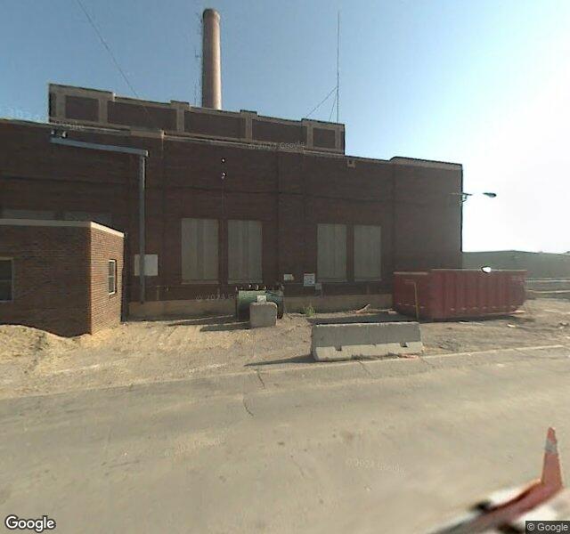
Compare nearby storage unitsEPA's national Facility Registry Service CSV lists registry ID 110008820035 for BURNSVILLE SANITARY LANDFILL at 2650 CLIFF RD W, BURNSVILLE, MN. National CSV retrieved October 30, 2026. The record's listed update date is 2017-06-01. A registry entry is not a recycling license, certification or confirmation of public drop-off access.
The national EPA facility record lists these program associations and identifiers: CEDRI:CEDRI10173475, E-GGRT:1007743, LMOP:812, MN-TEMPO:190615, MN-TEMPO:2010, MN-TEMPO:279, MN-TEMPO:7145, RCRAINFO:MNR000070219, REGION:100250. Recorded program interests: COMPLIANCE AND EMISSIONS REPORTING, GREENHOUSE GAS REPORTER, LANDFILL GAS (LFG) RECOVERY, SOLID & C&D WASTE LANDFILL, STATE MASTER, VSQG. National CSV retrieved October 30, 2026. The record's listed update date is 2017-06-01. These are links to program records; they do not establish current permit validity or a finding of a violation.
NAICS code(s): 221121, 562211, 562212. Description(s): ELECTRIC BULK POWER TRANSMISSION AND CONTROL., HAZARDOUS WASTE TREATMENT AND DISPOSAL., SOLID WASTE LANDFILL. SIC code(s): 4953. Description(s): REFUSE SYSTEMS National CSV retrieved October 30, 2026. The record's listed update date is 2017-06-01. These are recorded industry classifications, not a list of materials accepted today.
The MPCA Solid Waste Sites dataset identifies Burnsville Sanitary Landfill as agency interest 279, with recorded permit identifiers SW-56. The associated activity classes are Individual Permit. Retrieved 2026-10-30. Permit-by-rule records remain distinct from individual permits; this dataset does not provide an expiration date or confirm current permit standing.
The dataset records these active site units or classifications for Burnsville Sanitary Landfill: Recycling; Leachate Storage; Landfill Gas Management; MSW Land Disposal; Solid Waste Storage. Retrieved 2026-10-30. Active is the source's unit-status field. These regulatory classifications do not by themselves establish public drop-off access, opening hours or acceptance of a specific load.
EPA's ECHO export, last modified October 25, 2026, identifies BURNSVILLE SANITARY LANDFILL at this address as FRS facility 110008820035. Its aggregate active-program flag is Y: EPA defines this as at least one associated air, water, hazardous-waste or drinking-water program record being active. It does not mean that every listed program record is active or that the facility has a current compliance certification.
ECHO associates BURNSVILLE SANITARY LANDFILL with RCRA identifier(s) MNR000070219 and recorded facility type(s) VSQG. Source export last modified October 25, 2026. Generator classifications describe a facility's own hazardous-waste generation; they are not approval to accept hazardous waste from customers. These identifiers and types do not by themselves establish an active treatment, storage or disposal permit.
EPA ECHO identifies BURNSVILLE SANITARY LANDFILL at 2650 CLIFF RD W, BURNSVILLE, MN (FRS 110008820035). Its five-year compliance-monitoring metric records 0 qualifying activities. The latest qualifying activity date supplied is 2012-11-14. The source snapshot is 2026-10-25, retrieved 2026-10-30. These records cover qualifying inspections and evaluations; an air-program evaluation may include off-site work. A zero is the ECHO metric for this reporting window, not a statement that the site has never been inspected. This is a reported monitoring history, not a current compliance rating. Facility report: https://echo.epa.gov/detailed-facility-report?fid=110008820035
The ECHO snapshot supplies latest EPA-reported qualifying activity: 2012-11-14. These are reported activity dates, which may include completion of an air-program evaluation rather than an on-site visit. Snapshot: 2026-10-25. Reporting coverage differs between programmes and agencies. Source definitions: https://echo.epa.gov/help/facility-search/all-data-search-results-help
EPA ECHO’s 2026-10-25 snapshot records 0 of the last 12 reporting quarters with a violation/noncompliance status for BURNSVILLE SANITARY LANDFILL at 2650 CLIFF RD W, BURNSVILLE, MN (FRS 110008820035). Zero recorded quarters is not a certification of compliance or complete reporting. Agency-recorded violations may be allegations rather than final adjudications. Reporting coverage varies by programme. Facility history: https://echo.epa.gov/detailed-facility-report?fid=110008820035
In its five-year summary through the 2026-10-25 snapshot, ECHO reports 0 formal enforcement actions and 0 informal notices/actions. Informal notices can be resolved without escalation and are not final adjudications. Counts reflect the export’s reporting coverage and are not a complete case inventory. A zero does not establish an absence of all enforcement history. Source definitions: https://echo.epa.gov/help/facility-search/all-data-search-results-help
EPA’s Greenhouse Gas Reporting Program inventory linked to FRS 110008820035 supplies 3 pollutant/identifier entries for 2023, the latest year available for this location and programme in the 2026-10-25 download. The reported entries are: Methane: 38,863.5 metric tons of carbon dioxide equivalent (programme ID 1007743); Carbon dioxide: 532.4 metric tons of carbon dioxide equivalent (programme ID 1007743); Nitrous oxide: 0.298 metric tons of carbon dioxide equivalent (programme ID 1007743). These are inventory estimates/reports, not an ambient concentration, personal exposure estimate, current-year measurement or compliance finding. Programmes can overlap and their amounts must not be added together. Historical reporting may concern previous operators. Source definitions: https://echo.epa.gov/tools/data-downloads/air-emissions-download-summary
EPA LMOP’s September 2024 dataset identifies Burnsville SLF (LMOP 812) at this source address as landfill owner organization: WM; landfill operator organization: WM. Its source landfill-status field is Open in that snapshot. These are the agency’s landfill-specific organization fields, not corporate beneficial-ownership evidence or proof the roles or site status remain current. EPA says the database is not exhaustive and not every field is updated each year. Source: https://www.epa.gov/lmop/landfill-technical-data
For Burnsville SLF (LMOP 812), the September 2024 LMOP source lists annual waste acceptance 198,364 short tons per year for 2022; waste in place 15,522,229 short tons for 2022; waste design capacity 38,720,377 short tons as listed in the September 2024 snapshot. Reporting years are reproduced where supplied. These are historical technical records, not current throughput, available capacity, a permit limit, sales or revenue. The quantities are not added, subtracted or converted into forecasts. Source: https://www.epa.gov/lmop/landfill-technical-data
EPA’s September 2024 LMOP snapshot lists 3.195 million standard cubic feet per day of landfill gas collected for 2022 at Burnsville SLF (LMOP 812). This is the source’s dated gas-collection field, not a current flow measurement, energy output, emissions violation, gas sales figure or contract commitment. Source: https://www.epa.gov/lmop/landfill-technical-data
Nobody has reported a price here yet. Be the first.
What did you sell?
2650 Cliff Rd W
Burnsville, MN
44.745800°N, 93.283700°W
Get DirectionsOpens in Google Maps
More recycling near Burnsville and across MN.
Get a real cash offer in about 2 minutes. Free towing, any condition, even if it doesn't run. No haggling, no phone calls.
See My Car's OfferClear the clutter. Keep what matters.
Compare U.S. storage units for the furniture and seasonal gear you want to keep after a cleanout.
Compare nearby storage unitsPut organic produce on your weekly menu
Explore Full Circle farm boxes and check delivery for your ZIP code.
Check delivery in my ZIPCarry your everyday essentials in a vegan bag
Explore Svala handbags and totes for errands, work and weekends away.
Shop Svala bags